OpenStreetMap

The opensource geographic database

OpenStreetMap (OSM) is a collaborative geographic database crowdsourced by millions of contributors worldwide. For a few years, OpenStreetMap has become the most frequently used geographic database for developing geospatial applications.

Champs-Libres has a great expertise in OSM data mining and we propose several OSM-based services and applications.

Our OpenStreetMap expertise

We are making specific development around the OSM ecosystem for meeting the specific needs from our customers. Our expertise is about :

[Read More]
QGIS

The opensource geographic information system

QGIS is the leader open source Geographic Information System (GIS).

Champs-Libres have a great knowledge of the QGIS daily usage, and is expert in QGIS plugin development.

Support

We offer support about the QGIS usage, through an hotline or by email. We do also on-site intervention.

Training

We organise training about the use of QGIS, or the plugin development in QGIS. Those training may be organized in our office in Namur, or elsewhere in Belgium or abroad. We can offer the training in French or English.

[Read More]

QGIS

The opensource geographic database

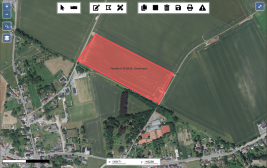
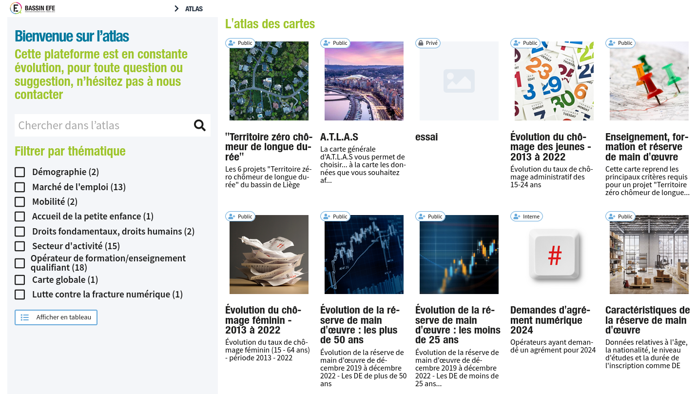
Champs-Libres develop and host geographical apps.

Tailor-made development

We develop geographical information systems which suits perfectly to your needs, starting from open source blocks. Our knowledge of geospatial data model allow us to conceive information systems at the best to integrate the geographical dimension.

Our references include web portals and apps in those domains:

  • transport;
  • renewal energy;
  • tourism;
  • agriculture;
  • social and cultural domains.

Our work is based on framework, which accelerates our developments. We frequently use:

[Read More]