Client: FOREM, public, Belgium
Réalisation: Champs-Libres
Since 2023
For the realization of this project we used the Cartostation framework developed by Atelier Cartographique, a Brussels-based cooperative with which we regularly collaborate.
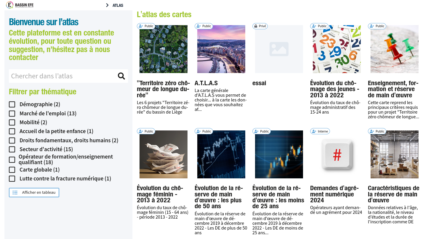
A.T.L.A.S. makes it possible to visualize some of the data from IBEFE’s triennial Analytical and Prospective Report, to embody figures and rates in the territory and to cross-reference different information, thus offering a tool for reflection, orientation, analysis and prospective.
Technologies utilisées:
Docker
-
PostgreSQL/PostGIS
-
Django
-
OpenLayers
-
Typescript
-
functional programming