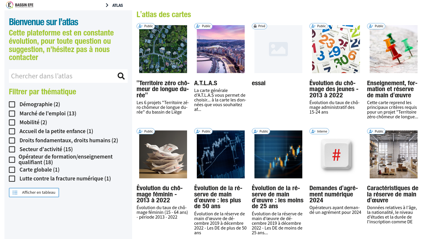
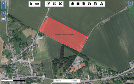
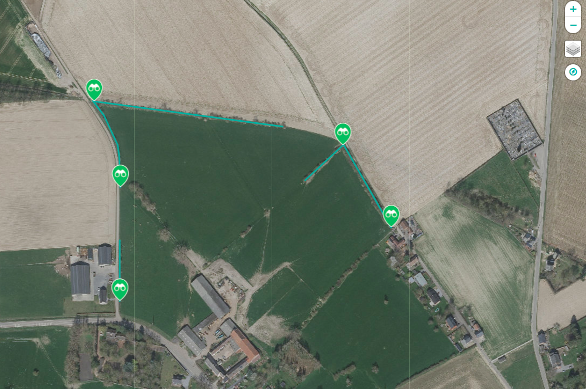
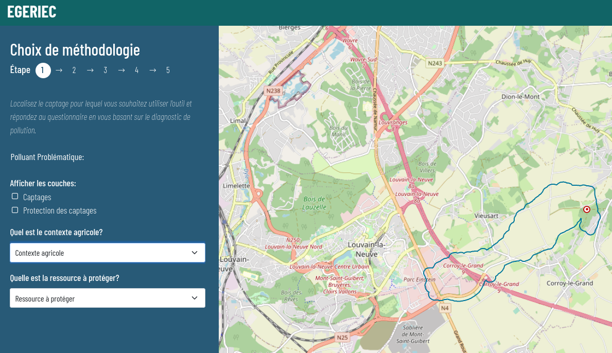
Champs-Libres develop and host geographical apps.
Tailor-made development
We develop geographical information systems which suits perfectly to your needs, starting from open source blocks. Our knowledge of geospatial data model allow us to conceive information systems at the best to integrate the geographical dimension.
Our references include web portals and apps in those domains:
- transport;
- renewal energy;
- tourism;
- agriculture;
- social and cultural domains.
Our work is based on framework, which accelerates our developments. We frequently use:
- Django (python);
- Symfony (PHP).
Geospatial database
Champs-Libres regularly use the relational database system PostgreSQL and his geospatial extension PostGIS. We implement database adapted to your needs. We also handle the hosting of database servers.
Hosting and deployment infrastructure
Champs-Libres develop his own hosting infrastructure, which allow us to deploy and host various web applications.
This infrastructure is based on Docker Swarm and Kubernetes. We use also persistant systems: PostgreSQL + PostGIS, MariaDB, RabbitMQ, log collectors, … This infrastructure, permanently monitored, allow us to reach high availability and support heavy loads.
Support
We offer support in the analyse and modeling of geospatial components of your projects. It may be:
- advise and support in development;
- review of the source code;
- development of a part of the project;
- code auditing;
- developer training.