Client: UCL, privé, Belgium
Réalisation: Champs-Libres
2021-2023
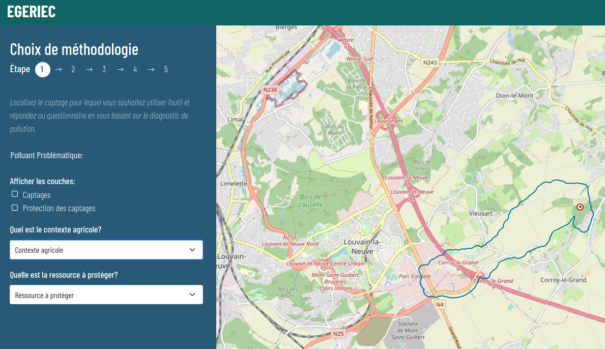
Development of a digital tool for the diagnostic and risk management specific to certain water catchment zones. A first part of the webGIS application allows users to consult data and statistics related to different water catchment zones. Following this a methodological tool offers users the possiblility to identify different solutions based on their efficiency in protecting a water catchment zone.
The application is part of a bigger research project conducted by the Catholic University of Leuven.
Technologies utilisées:
Docker
-
PostgreSQL/PostGIS
-
Django
-
OpenLayers
-
VueJS