A.T.L.A.S

webGIS application

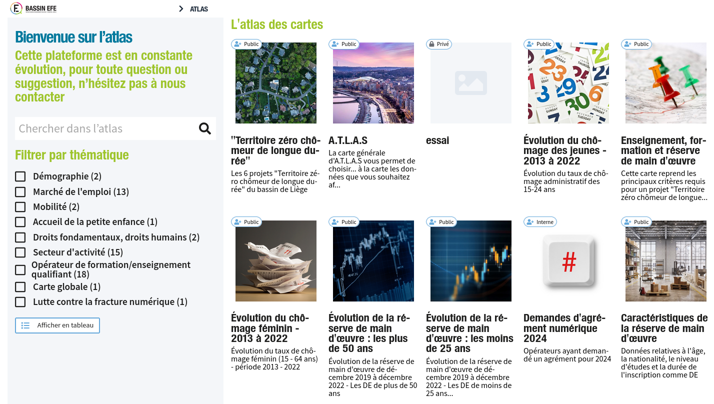
For the realization of this project we used the Cartostation framework developed by Atelier Cartographique, a Brussels-based cooperative with which we regularly collaborate.

A.T.L.A.S. makes it possible to visualize some of the data from IBEFE’s triennial Analytical and Prospective Report, to embody figures and rates in the territory and to cross-reference different information, thus offering a tool for reflection, orientation, analysis and prospective.
Natagriwal

Geomatic support

Geomatic support for Natagriwal.

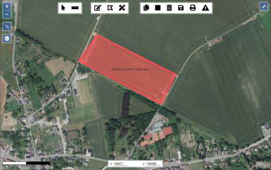
Natagriwal produces expert reports to support the development of agri-environmental measures for farmers. We support their activity by managing their spatial database and by developing cartographic clients to interact with their spatial data.

In a first phase, we set up a PostgreSQL/PostGIS database with a QGIS client. In a second phase, we developed in Javascript a dedicated cartographic application that integrates with the expert reports redaction application (in PHP). Compared to the use of a classical GIS software, the cartographic application allowed to simplify the writing of expert reports for Natagriwal’s officers.

[Read More]

Egeriec

WebGIS application for the identification and diagnostic of water pollution.

Development of a digital tool for the diagnostic and risk management specific to certain water catchment zones. A first part of the webGIS application allows users to consult data and statistics related to different water catchment zones. Following this a methodological tool offers users the possiblility to identify different solutions based on their efficiency in protecting a water catchment zone.

The application is part of a bigger research project conducted by the Catholic University of Leuven.

[Read More]