Development of a topographic map style for OpenStreetMap data.
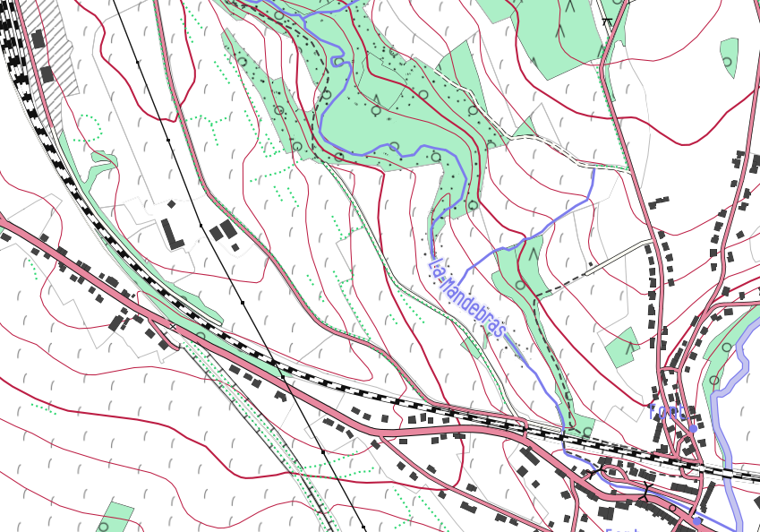
OpenArdenneMap is a topographic map style for OpenStreetMap data that is particularly suited for printing high quality paper maps. This style is internally developed and available under an opensource licence. The map style counts original symbols, colour choice, textures and fonts and is specifically adapted for some particularities of the Ardenne area. It is used by local tourism offices.
In October 2018, a map made with the OpenArdenneMap style was awarded as the best map at the FOSS4G.be conference, Brussels.
Since June 2021, an offer of hiking maps based on this style has emerged on https://hiking.osm.be.
A web map tile server is online on https://www.nobohan.be/webmaps/oam-tile/.