Client: Laborelec (ENGIE), private, Belgique
Réalisation: Champs-Libres
2021
Software development for an R&D project on street lighting measurement.
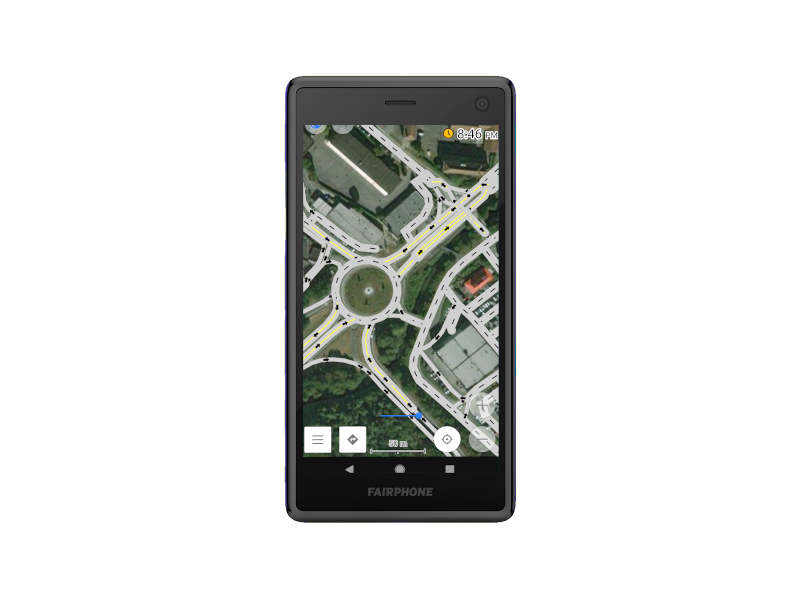
We developed a QGIS plugin for the preparation of field missions on road networks. The plugin allows to download road network data from OpenStreetMap, to process them, to split them in batch before exporting them to OsmAnd, an open-source Android application. Then, we configured the OsmAnd application to support the field missions. In particular, we adapted the map style to specific attributes by rewriting OsmAnd’s road network rendering style.
The project demonstrated the maturity of OpenStreetMap data for a business application on road networks, as well as the plasticity offered by the OsmAnd application.
Technologies utilisées:
QGIS
-
OpenStreetMap
-
Python