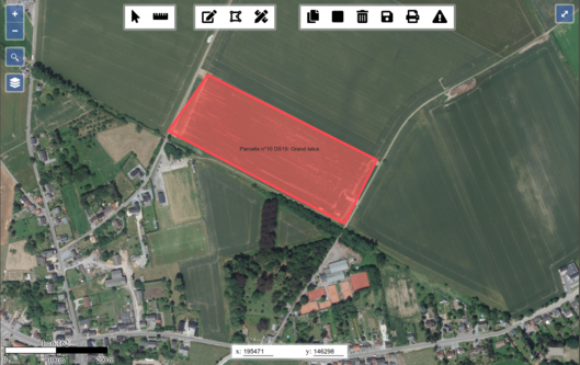
At first sight, street labelling looks like a fairly basic feature in cartography. But finding a way to display the largest possible number of street labels while keeping map readability can become very challenging! In this post, we report about our tests to maximise the presence of street labels in a map produced with Mapnik.
Note: the images in this blog post are intended for a printed map, so they actually looked small at the screen. Right-click and open them in a new tab to see them at a better scale!
[Lire plus]


